Catalog Archive
Auction 96, Lot 428
"Carte de l'Indoustan Suivant les Cartes les plus recentes, Conciliees avec les Relations et les details Geographiques inseres dans l'Histoire Generale des Voyages", Bellin, Jacques Nicolas
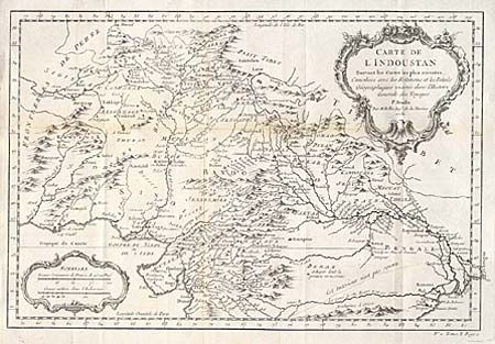
Subject: Northern India, Pakistan and Afghanistan
Period: 1752 (dated)
Publication:
Color: Black & White
Size:
13.2 x 9 inches
33.5 x 22.9 cm
Download High Resolution Image
(or just click on image to launch the Zoom viewer)
(or just click on image to launch the Zoom viewer)