Catalog Archive
Auction 96, Lot 396
"Carte des Premiers Ages du Monde. Geographie Ecclesiastique de la Turquie d'Asie et de la Perse", Robert de Vaugondy, Didier
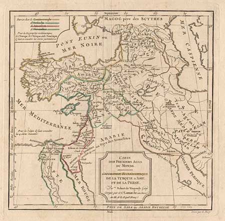
Subject: Near and Middle East
Period: 1795 (circa)
Publication:
Color: Hand Color
Size:
9.6 x 9.4 inches
24.4 x 23.9 cm
Download High Resolution Image
(or just click on image to launch the Zoom viewer)
(or just click on image to launch the Zoom viewer)