Catalog Archive
Auction 96, Lot 37

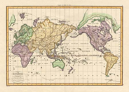
"Mappemonde Physique sur la Projection de Mercator", Lapie, Alexander Emile & Pierre

Subject: World

Period: 1833 (circa)

Publication:

Color: Hand Color

Size:
16.2 x 11.1 inches
41.1 x 28.2 cm
Download High Resolution Image
(or just click on image to launch the Zoom viewer)

This is a very unusual map centered on the Pacific Ocean. It includes an interesting landmass stretching across the North Pole from Greenland to above Alaska and enclosing the Mer Polaire. In the Antarctic region numerous iceberg are shown as Iles de Glaces. The map depicts the physical characteristics of the earth and is devoid of political detail.

References:

Condition: A+

Minor soil in bottom margins, still fine.

Estimate: $150 - $200

Sold for: $100

Closed on 9/12/2001

Archived