Catalog Archive
Auction 96, Lot 266

"Septentrionales Regiones XVIII No. Tab.", Munster, Sebastian

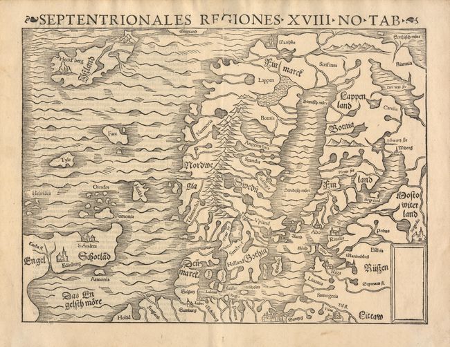
Subject: Arctic and Scandinavia

Period: 1545 (published)

Publication: Geographia

Color: Black & White

Size:
13.5 x 9.9 inches
34.3 x 25.1 cm
Download High Resolution Image
(or just click on image to launch the Zoom viewer)

Munster's version of Olaus Magnus' great map (1539) of Scandinavia and the North Atlantic, which was the first to correct the Ptolemaic geography of the region. The region is graphically depicted with the numerous fiords and lakes. Iceland and the islands of Tyle, Fare and Hetlad are shown in the North Atlantic. The northern part of Scotland is shown with the peculiar hooked eastward extension familiar from Ptolemy’s maps.

References:

Condition: A

A very fine example with minor soil in margins, two tiny worm holes and a patched worm track affecting title in top margin.

Estimate: $650 - $700

Sold for: $500

Closed on 9/12/2001

Archived