Catalog Archive
Auction 96, Lot 233
"Isle St. Vincent Levee en 1773 apres le Traite fait avec les Caraibes", Le Rouge, George Louis
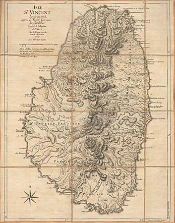
Subject: St. Vincent
Period: 1778 (dated)
Publication:
Color: Black & White
Size:
18.2 x 23.8 inches
46.2 x 60.5 cm
Download High Resolution Image
(or just click on image to launch the Zoom viewer)
(or just click on image to launch the Zoom viewer)