Catalog Archive
Auction 96, Lot 232
"Grenada Divided into Its Parishes, Surveyed By Order of His Excellency Governor Scott", Jefferys, Thomas
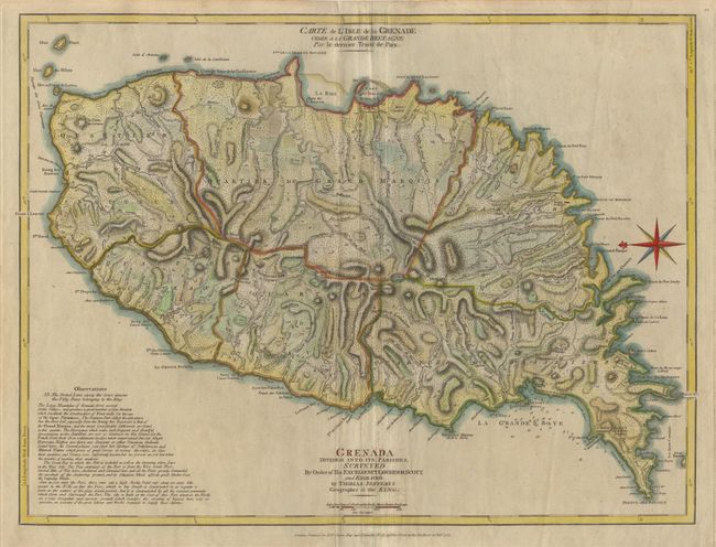
Subject: Grenada
Period: 1775 (dated)
Publication: The West-India Atlas or, A Compendious Description of the West-Indies
Color: Hand Color
Size:
24.2 x 18.2 inches
61.5 x 46.2 cm
Download High Resolution Image
(or just click on image to launch the Zoom viewer)
(or just click on image to launch the Zoom viewer)