Catalog Archive
Auction 96, Lot 213
"Carte des Provinces de Tabasco, Chiapa, Verapaz, Guatimala, Honduras et Yucatan…", Bellin, Jacques Nicolas
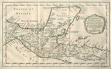
Subject: Mexico and Central America
Period: 1760 (circa)
Publication: Prevost's Histoire Generale des Voyages
Color: Black & White
Size:
13.2 x 8 inches
33.5 x 20.3 cm
Download High Resolution Image
(or just click on image to launch the Zoom viewer)
(or just click on image to launch the Zoom viewer)