Catalog Archive
Auction 96, Lot 110

"A Map of the British and French Settlements in North America", Lodge, John

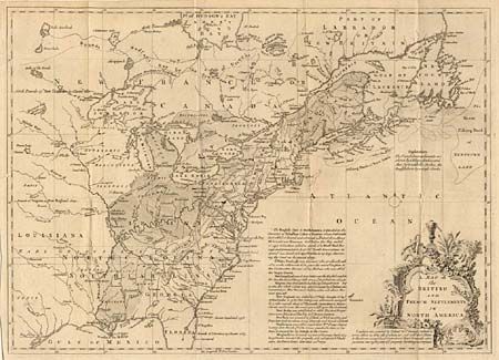
Subject: Colonial United States and Canada

Period: 1755 (published)

Publication: Gentleman's Magazine

Color: Black & White

Size:
15.2 x 11 inches
38.6 x 27.9 cm
Download High Resolution Image
(or just click on image to launch the Zoom viewer)

This is the first of several similar map illustrating the French/British conflict in North America. It depicts, by hachures, the French encroachment into British claimed territory. Earl Granville's Property is shown in North Carolina and extending to the western most edge of the map, which is about the 100th Meridian. Several treaty lines are shown, with British and French forts and numerous Indian tribes. Decorative title cartouche and lengthy description of the history of the colonies.

References: Jolly GENT-91; McKorkle #755.24

Condition: A

Numerous folds, as issued. Trimmed at binder’s side, just touching neatline.

Estimate: $250 - $300

Sold for: $375

Closed on 9/12/2001

Archived