Catalog Archive
Auction 95, Lot 82

"Karte zur Ubersicht der Versuche zur Entdecking einer Nordwestlichen Durchfahrt", Reimer, Dietrich

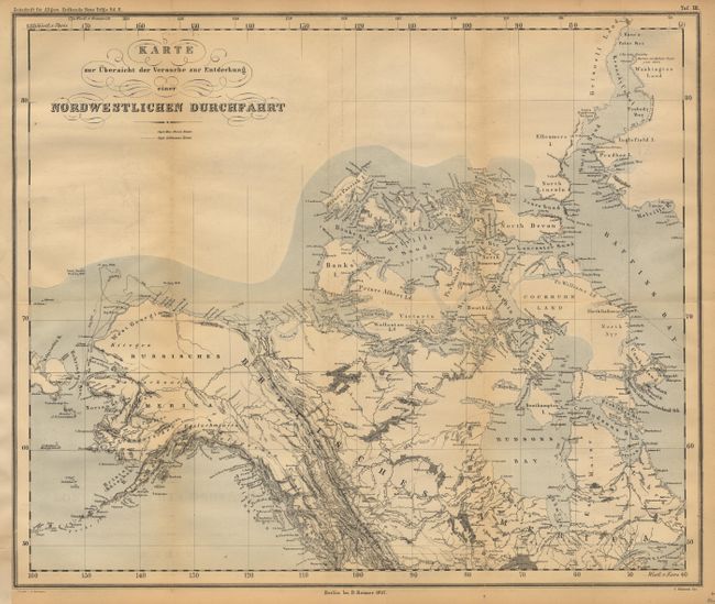
Subject: Northern North America

Period: 1857 (dated)

Publication: Zeitschrift für Allgemeine Erdkunde Neue Folge

Color: Printed Color

Size:
18 x 15 inches
45.7 x 38.1 cm
Download High Resolution Image
(or just click on image to launch the Zoom viewer)

Maps shows the 1850-1855 exploration routes of Capt. MacClure and Capt. Collinson in search of survivors of the 1847 Franklin Expedition. As captain of HMS Investigator, MacClure is credited with the discovery of a Northwest Passage, for which he was knighted and made post Captain. His ship was marooned in the ice for two years before his rescue. During that time he took a small party by sledge to Mountain Observatory where he made the first sighting of this Northwest Passage. Map covers the region from the Behring Strait to Baffin's Bay. An absolute must for the Northwest Passage collector.

References:

Condition: B

Estimate: $100 - $120

Sold for: $95

Closed on 6/13/2001

Archived