Catalog Archive
Auction 95, Lot 474

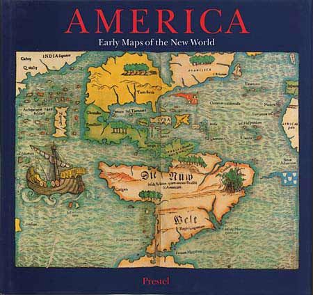
"America - Early Maps of the New World",

Subject: Cartographic Reference

Period: 1992 (published)

Publication: Prestel (publisher)

Color:

Size:
11.7 x 11 inches
29.7 x 27.9 cm
Download High Resolution Image
(or just click on image to launch the Zoom viewer)

Beautifully illustrated, scholarly discussion of early maps that show the New World. Many aspects of geography and cartography and how they evolved are revealed. Edited by Hans Wolff, on behalf of the Bavarian State Library. 90 splendid illustrations in color and 92 in duotone. Hard bound in blue cloth with lovely illustrations on dust jacket front and back, 192p,

References:

Condition: A+

Appears new.

Estimate: $40 - $50

Sold for: $55

Closed on 6/13/2001

Archived