Subject: Atlas
Period: 1873 (published)
Publication:
Color: Hand Color
Size:
13.5 x 18 inches
34.3 x 45.7 cm
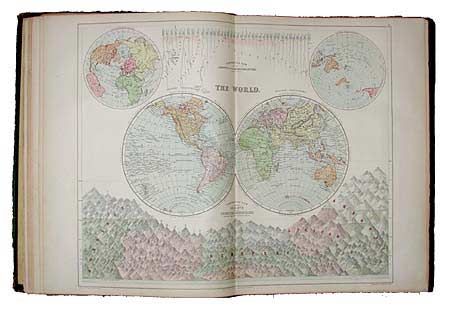
Complete atlas with all maps & charts very good to fine condition. Southern England sheet split in lower portion. Green cloth boards in poor condition with gold embossed titles. Spine loose and partially missing. Complete with all 49 maps and charts. Plus several later maps neatly tipped in by previous owner. The following are by The Edinburgh Geographical Institute and most published in the Scottish Geographical Magazine: Bathymetrical Chart of the Oceans Showing the "Deeps" According to Sir John Murray, n.d.; Botanical Survey of Scotland by Robert Smith, Northern Perthshire Sheet, n.d.; another with the same title, Edinburgh Sheet; Formosa from the Latest Authorities, 1896; Map of Western Part of the Dominion of Canada to Accompany a paper by Wm. Ogilvie, 1898; Map of Western Australia showing the Routes of the exploring Expedition Under the Hon. David W. Carnegie between Coolgardie & Kimberley 1896-1897; Map of Kamchatka from Most Recent Data to Illustrate Paper by G.E.H. Barret-Hamilton, 1899; Map of the Caucasus Land Surface Features, 1899; Map of the Caucasus Annual Rainfall, 1899; and South Polar Chart Showing Sir John Murray's Proposed Scheme for Antarctic Exploration, 1898. Plus Orographical Map of the Upper Nile Basin, 1899; South Africa General Mission, Castle Line Map of South Africa. President Rev. Andrew Murray, undated.
References:
Condition: A