Catalog Archive
Auction 94, Lot 385

"Die Ostindischen Inseln", Perthes, Justus

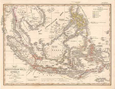
Subject: South East Asia

Period: 1830 (dated)

Publication: Stielers Hand-Atlas

Color: Hand Color

Size:
16.2 x 12.5 inches
41.1 x 31.8 cm
Download High Resolution Image
(or just click on image to launch the Zoom viewer)

A bright and well detailed map of South East Asia covering the area from Burma to New Guinea, showing all of Malaysia, Indonesia, and the Philippines. The northwest corner of Australia is just visible. A legend, and corresponding colors on the map show the possessions of European countries. Most of the small islands are also shown.

References:

Condition: A

Estimate: $70 - $90

Sold for: $55

Closed on 3/7/2001

Archived