Catalog Archive
Auction 94, Lot 271

"Landkaart verbeeldende de twee Romeynsche heirbaanen", Loon, Jan van

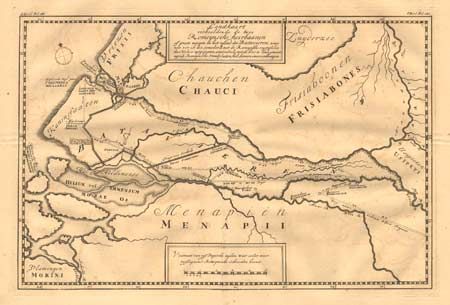
Subject: Netherlands

Period: 1734 (published)

Publication:

Color: Black & White

Size:
15 x 14.5 inches
38.1 x 36.8 cm
Download High Resolution Image
(or just click on image to launch the Zoom viewer)

Map of Central Holland showing the Island of the Batavians, between the Rhine and Maas Rivers. The map features the two roads the Romans built from Cologne to Nymegen, which was a principal Roman settlement, and then west to the coast. A few major places are named, along with the names and locations of the different peoples who lived there at the time.

References:

Condition: B

Very sharp impression with a bit of minor offsetting.

Estimate: $90 - $120

Sold for: $85

Closed on 3/7/2001

Archived