Catalog Archive
Auction 94, Lot 250
"Smith's Map of England & Wales, showing all the Railways, Roads, Rivers & Canals", Smith, Charles
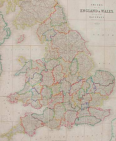
Subject: England and Wales
Period: 1847-60 (circa)
Publication:
Color: Hand Color
Size:
36.8 x 44.8 inches
93.5 x 113.8 cm
Download High Resolution Image
(or just click on image to launch the Zoom viewer)
(or just click on image to launch the Zoom viewer)