Catalog Archive
Auction 94, Lot 214

"Carte Ridotta", Bouguer, Pierre
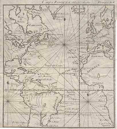
Subject: Atlantic

Period: 1749 (circa)

Publication:

Color: Black & White

Size:
7.9 x 8.8 inches
20.1 x 22.4 cm
Download High Resolution Image
(or just click on image to launch the Zoom viewer)

Copper engraved map of the Atlantic displaying a large part of each continent. During an expedition to Peru for the French Academie Royal in 1735-44, Bouguer conducted a survey by triangulation and measured the arc of the meridian. The results, combined with those of a similar party in the northern hemisphere, helped establish the shape of the Earth. The small map is very attractive with rhumb lines and fleur-de-lis, but has little political detail.

References:

Condition: A

Trimmed close to neatlines on two sides, else fine.

Estimate: $180 - $200

Sold for: $170

Closed on 3/7/2001

Archived