Catalog Archive
Auction 94, Lot 173
"A Map of the West-Indies &c. Mexico or New Spain. Also ye Trade Winds, and ye several Tracts made by ye Galeons and Flota from Place to Place", Moll, Herman
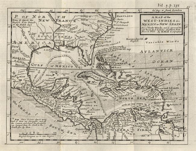
Subject: Southern United States, Mexico and the Caribbean
Period: 1729 (circa)
Publication:
Color: Black & White
Size:
10.3 x 7.8 inches
26.2 x 19.8 cm
Download High Resolution Image
(or just click on image to launch the Zoom viewer)
(or just click on image to launch the Zoom viewer)