Catalog Archive
Auction 94, Lot 158

"Map No. 2 From the Mouth of Trap Creek to the Santa Fe Crossing…", Gunnison, John William [Capt.]
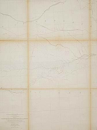
Subject: Nebraska

Period: 1855 (dated)

Publication: Pacific RR Surveys, quarto edition. 33rd Congress

Color: Black & White

Size:
23 x 31.5 inches
58.4 x 80 cm
Download High Resolution Image
(or just click on image to launch the Zoom viewer)

This map details the proposed routes across the territories of Kansas and Nebraska. [1] Leaving the Missouri R. at Kansas and following the Pawnee Republican Fork, [2] Leaving the Missouri R. at St. Joseph westward to the Republican River, [3] Leaving the Missouri R. at Council Bluffs westward along the Platte River. Ironically, Capt. Gunnison was killed by Indians in Utah nearly two years before this map was issued.

References: Wheat (TMW) #844.

Condition: B

Toned along folds, strengthened and backed with Japanese tissue. Closely trimmed for binding at lower left.

Estimate: $200 - $250

Sold for: $190

Closed on 3/7/2001

Archived