Catalog Archive
Auction 94, Lot 102
"The River St. Lawrence, accurately drawn from d'Anville's Map Published under the patronage of The Duke of Orleans", Harrison, John
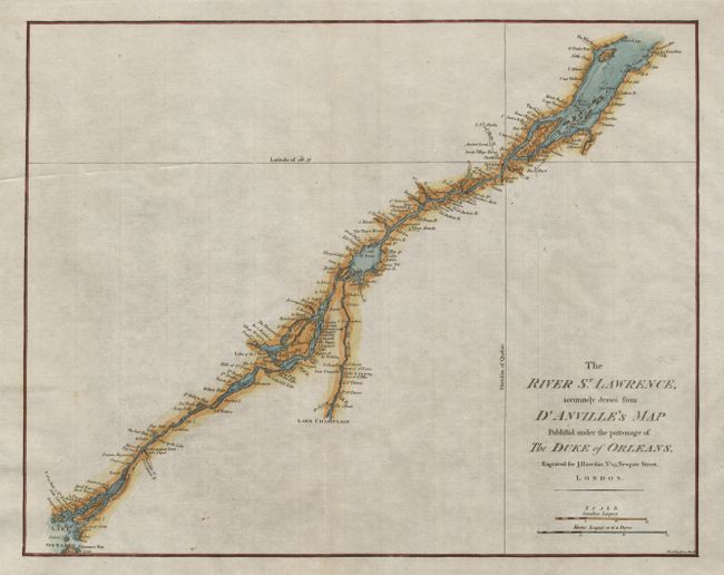
Subject: Canada
Period: 1791 (published)
Publication: Rapen de Thoyrais, History of England
Color: Hand Color
Size:
16.5 x 13.1 inches
41.9 x 33.3 cm
Download High Resolution Image
(or just click on image to launch the Zoom viewer)
(or just click on image to launch the Zoom viewer)