Catalog Archive
Auction 93, Lot 39

"Carte Reduite des Terres et des Mers du Globe Terrestre", Bonne, Rigobert
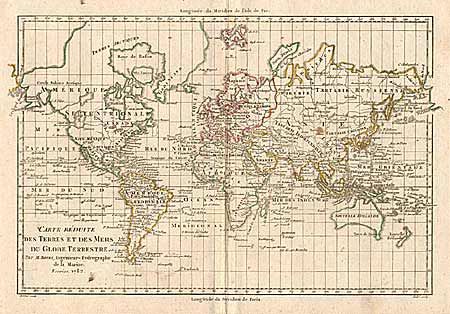
Subject: World

Period: 1782 (dated)

Publication: Atlas Portatif

Color: Hand Color

Size:
12.7 x 8.5 inches
32.3 x 21.6 cm
Download High Resolution Image
(or just click on image to launch the Zoom viewer)

Handsome copper engraved world map on Mercator's projection. Greenland and the Arctic are attached to North America. Alaska is shown with a rudimentary shape. The most interesting features are the large inland sea in the Pacific Northwest with its outlet named "Canal du Roi George" and a river connecting it to Hudson Bay. Above this is another large lake with a huge river flowing to the Pacific at "Is. San Carlos". Australia is named "Nouvelle Holland" and includes "Terre de Diemen". Numerous small islands are shown throughout the world.

References:

Condition: A

Estimate: $275 - $325

Sold for: $230

Closed on 12/6/2000

Archived