Catalog Archive
Auction 93, Lot 143
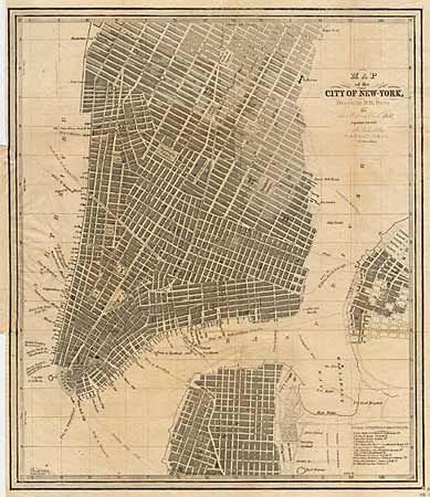
"Map of the City of New York, Drawn by D.H. Burr, for New York as it was in 1850. Population 450,000", Burr, David H.
Subject: New York
Period: 1857 (published)
Publication: C.S. Francis & Co.
Color: Black & White
Size:
10.3 x 12.2 inches
26.2 x 31 cm
Download High Resolution Image
(or just click on image to launch the Zoom viewer)
(or just click on image to launch the Zoom viewer)