Catalog Archive
Auction 92, Lot 316
"Tabula Geographica, In Qua Iisraelitarum, Ab Aegypto Ad Kenahanaeam usque profectiones omnes, et stationes describuntur Auctore D.R.M. Mathes", Plancius/Hartgers
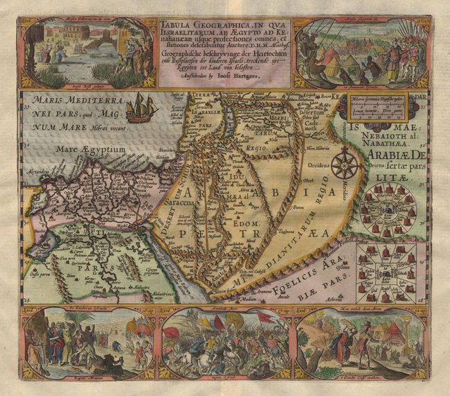
Subject: Holy Land
Period: 1653 (published)
Publication:
Color: Hand Color
Size:
13 x 11.5 inches
33 x 29.2 cm
Download High Resolution Image
(or just click on image to launch the Zoom viewer)
(or just click on image to launch the Zoom viewer)