Catalog Archive
Auction 92, Lot 144
"[Dakota Territory]", Petermann, Augustus Herman
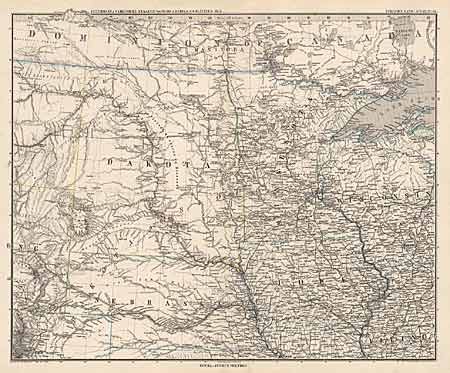
Subject: North-central United States
Period: 1880 (published)
Publication: Stieler's Hand Atlas
Color: Hand Color
Size:
16 x 13 inches
40.6 x 33 cm
Download High Resolution Image
(or just click on image to launch the Zoom viewer)
(or just click on image to launch the Zoom viewer)