Catalog Archive
Auction 92, Lot 121

"Partie Occidentale du Canada, contenant les cinq Grands Lacs, avec les Pays Circonvoisins", Bonne, Rigobert

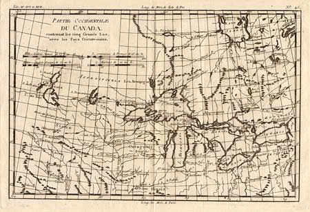
Subject: Colonial United States and Canada

Period: 1790 (circa)

Publication:

Color: Black & White

Size:
12.5 x 8.7 inches
31.8 x 22.1 cm
Download High Resolution Image
(or just click on image to launch the Zoom viewer)

Fine example of this map of the Great Lakes. It shows frontier forts, missions, and fur trade routes. It covers the region from James Bay to just below Ft. Duquesne and from Lake Ontario through the Great Plains. Numerous Indian tribe names and forts, including Detroit, St. Louis, Toronto and "Chicagou". The supposed source of the Mississippi is shown. Final state without Bonne's name in the title.

References: Kershaw #976, Sellers and Van Ee #173.

Condition: A+

Superb dark impression and condition.

Estimate: $220 - $250

Sold for: $300

Closed on 9/13/2000

Archived