Catalog Archive
Auction 92, Lot 104
"Carte qui represente les differentes connoissance que l on a eues des Terres Arctiques despuis 1650 jusqui en 1747 assqie es o fait comparer la carte Suivant", Robert de Vaugondy, Gilles
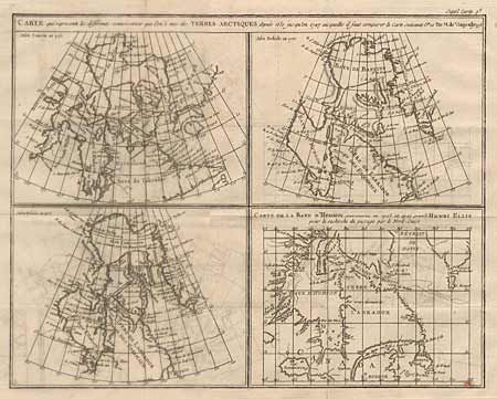
Subject: Canada
Period: 1777 (published)
Publication: Diderot's Encyclopedea
Color: Black & White
Size:
15 x 12 inches
38.1 x 30.5 cm
Download High Resolution Image
(or just click on image to launch the Zoom viewer)
(or just click on image to launch the Zoom viewer)