Catalog Archive
Auction 91, Lot 90

"Sheet 2 [A Map of the British Empire in America…]",
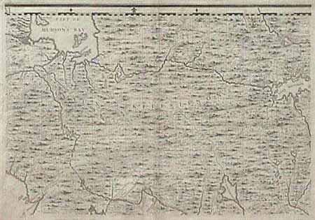
Subject: Canada

Period: 1733 (published)

Publication:

Color: Black & White

Size:
26.1 x 19.3 inches
66.3 x 49 cm
Download High Resolution Image
(or just click on image to launch the Zoom viewer)

Second sheet of Henry Popple's great 20 sheet map of America. This sheet covers the region between the Great Lakes and Hudsons Bay and east to Lake Mistasin. Popple made use of both French and English maps, including De l'Isle and De Fer. A very fine, dark impression. Professional repair of centerfold and a short marginal tear, with a bit of roughness in top margin.

References:

Condition: A

Estimate: $800 - $900

Sold for: $450

Closed on 6/14/2000

Archived