Catalog Archive
Auction 91, Lot 249
"A New Map of the Netherlands, also of that part of Germany Westward of the Rhine as ceded to the French and Divided into their several Departments from the Latest Authorities"
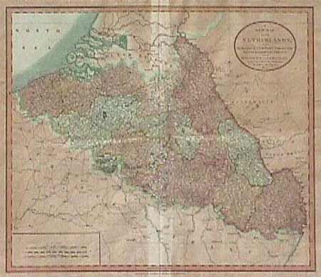
Subject: Belgium and Luxemborg
Period: 1804 (dated)
Publication:
Color: Hand Color
Size:
20 x 17.7 inches
50.8 x 45 cm
Download High Resolution Image
(or just click on image to launch the Zoom viewer)
(or just click on image to launch the Zoom viewer)