Catalog Archive
Auction 90, Lot 300

"Map of Africa From the Latest Authorities",
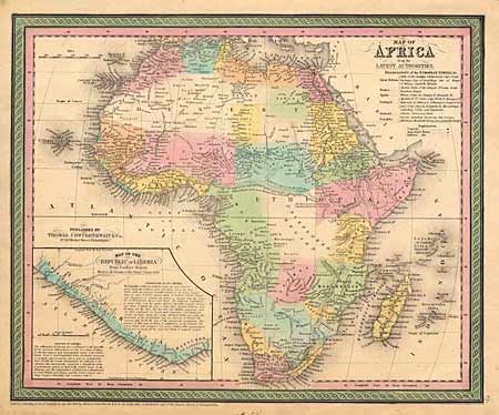
Subject: Africa

Period: 1850 (dated)

Publication: New General Atlas

Color: Hand Color

Size:
15 x 12.2 inches
38.1 x 31 cm
Download High Resolution Image
(or just click on image to launch the Zoom viewer)

One of the most attractive 19th Century maps of the continent. It is colored to indicate the European colonial possessions and is fairly accurate for the period. At bottom left is a large inset of the Republic of Liberia, reflecting the American influence there and the post-Civil War effort to repatriate freed Negroes to Africa. Surrounded in a colored scroll border.

References:

Condition: A

Estimate: $100 - $120

Sold for: $50

Closed on 3/15/2000

Archived