Catalog Archive
Auction 89, Lot 176
"Holland and Belgium"
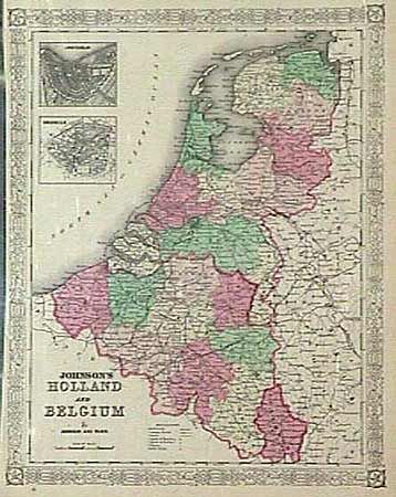
Subject: The Netherlands and Belgium
Period: 1866 (published)
Publication: Illustrated Family Atlas of the World
Color: Hand Color
Size:
12.5 x 15.5 inches
31.8 x 39.4 cm
Download High Resolution Image
(or just click on image to launch the Zoom viewer)
(or just click on image to launch the Zoom viewer)