Catalog Archive
Auction 89, Lot 153

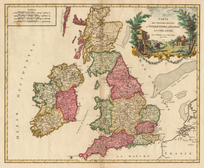
"Carte des Grandes Routes d'Angleterre, d'Ecosse, et d'Irlande",

Subject: Britain

Period: 1757 (dated)

Publication: Atlas Universel

Color: Hand Color

Size:
23 x 18.5 inches
58.4 x 47 cm
Download High Resolution Image
(or just click on image to launch the Zoom viewer)

Handsome map of the mail roads through Britain. The finely etched cartouche depicts a mail carrier mounting his horse outside a country inn. First state of this decorative map by the famous French cartographer. Crisp impression throughout with lovely color. Ref: Pedley #45. Minor toning along fold and a small spot in the scale of miles, overall very good.

References:

Condition: A

Estimate: $400 - $500

Sold for: $250

Closed on 12/8/1999

Archived