Catalog Archive
Auction 88, Lot 94
"Section of Map of the States of Kansas and Texas and Indian Territory with Parts of Colorado and New Mexico"
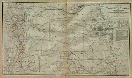
Subject: South-central United States
Period: 1895 (published)
Publication: Official Atlas of the Civil War
Color: Printed Color
Size:
27.5 x 16.5 inches
69.9 x 41.9 cm
Download High Resolution Image
(or just click on image to launch the Zoom viewer)
(or just click on image to launch the Zoom viewer)