Catalog Archive
Auction 88, Lot 85
"Diagram of the Transcontinental line of road Showing the Original Central Pacific and Union Pacific & their competitors", U.S. Government
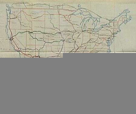
Subject: United States
Period: 1889 (circa)
Publication: Sen. Doc 51, 50th Congress, 1st Ses.
Color: Printed Color
Size:
22 x 18 inches
55.9 x 45.7 cm
Download High Resolution Image
(or just click on image to launch the Zoom viewer)
(or just click on image to launch the Zoom viewer)