Catalog Archive
Auction 88, Lot 293
"Palestine", Johnson & Ward
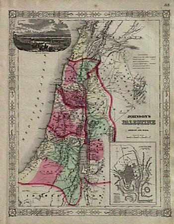
Subject: Holy Land
Period: 1863 (published)
Publication: New Illustrated Family Atlas of the World
Color: Hand Color
Size:
12.5 x 15.5 inches
31.8 x 39.4 cm
Download High Resolution Image
(or just click on image to launch the Zoom viewer)
(or just click on image to launch the Zoom viewer)