Catalog Archive
Auction 88, Lot 233

"Caletensium et Bononiensium Ditionis Accurata Delineatio/Veromanuorum Eorum que Confinium Exactissima Descript.",
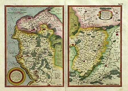
Subject: France

Period: 1601--09 (published)

Publication: Theatrum Orbis Terrarum

Color: Hand Color

Size:
18.2 x 13.2 inches
46.2 x 33.5 cm
Download High Resolution Image
(or just click on image to launch the Zoom viewer)

Two maps on one folio sheet. Caletensium covers the coastline between Calais and Estaples in very good detail, based in part on a four-sheet map by Nicolas de Nicolay. Veromanduorum covers a small region surrounding Saint-Quentin in northern France. The cartographic source of the map was Jean de Surhon who received royal privilege to make a map of the region in 1557. Both sources are noted in the cartouches. Superb original color. Ref: van den Broecke #45. Minor soil in margins, still fine.

References:

Condition: A+

Estimate: $300 - $350

Sold for: $200

Closed on 10/2/1999

Archived