Catalog Archive
Auction 88, Lot 176
"Lot of four maps", Collins, William Sons & Co.
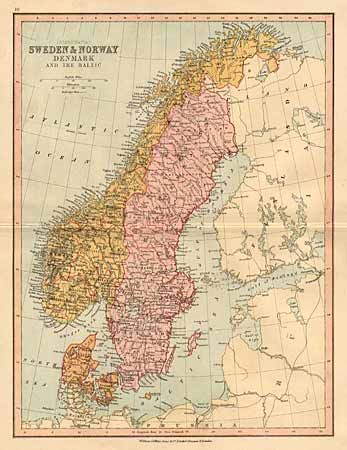
Subject: Europe
Period: 1880 (circa)
Publication: Student's Atlas
Color: Printed Color
Size:
9 x 12 inches
22.9 x 30.5 cm
Download High Resolution Image
(or just click on image to launch the Zoom viewer)
(or just click on image to launch the Zoom viewer)