Catalog Archive
Auction 88, Lot 116
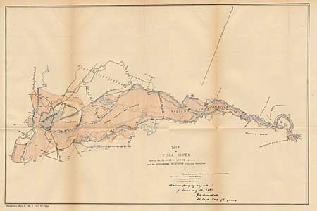
"Map of Yuba River showing the Flooded Lands adjacent thereto and the Impounding Reservoir of mining districts", U.S. Government
Subject: California
Period: 1881 (published)
Publication: House Doc 76, 46th Congress, 3rd Ses.
Color: Printed Color
Size:
19 x 12.5 inches
48.3 x 31.8 cm
Download High Resolution Image
(or just click on image to launch the Zoom viewer)
(or just click on image to launch the Zoom viewer)