Catalog Archive
Auction 209, Lot 99
"North America", Mitchell, Samuel Augustus
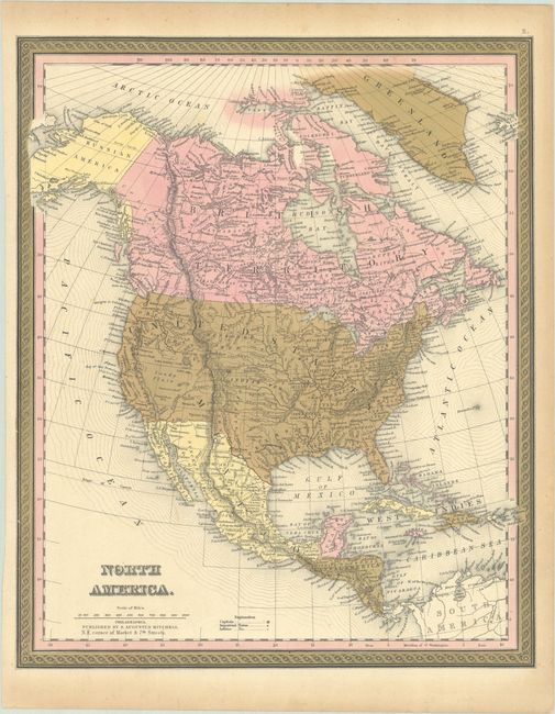
Subject: North America
Period: 1849 (circa)
Publication:
Color: Hand Color
Size:
12.9 x 15.7 inches
32.8 x 39.9 cm
Download High Resolution Image
(or just click on image to launch the Zoom viewer)
(or just click on image to launch the Zoom viewer)