
Catalog Archive
Auction 209, Lot 92

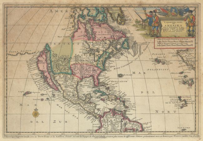
"'T Noorder Deel van Amerika door C. Kolumbus in zyn Eerste Togt Ontdekt en Desselfs Kusten en Voor Eylanden een en Andermaal Bevaaren", Aa, Pieter van der
Subject: Colonial North America

Period: 1707 (circa)

Publication:

Color: Hand Color

Size:
11.9 x 7.9 inches
30.2 x 20.1 cm
Download High Resolution Image
(or just click on image to launch the Zoom viewer)

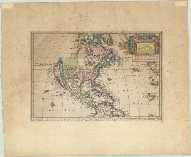
This charming map depicts a large island of California separated from Terra Esonis by the Strait of Anian. The Northwest coast is completely blank above the peninsula labeled Aqubela de Cato. The Great Lakes are shown with lakes Michigan and Superior open-ended, and in the West the Rio del Norte emanates from a large inland lake and flows into the sea between the mainland and California. The title cartouche is adorned in a military theme with a portrait of Christopher Columbus. This is the second state with the French title running underneath the map: L'Amerique Septentrionale, avec sa Terre Ferme et les Antilles...

References: McLaughlin #172; Tooley (Amer) p. 129, #75.

Condition: B

Contemporary color with wide margins. There is scattered foxing and some toning in the upper half of the image.

Estimate: $450 - $550

Sold for: $325

Closed on 6/17/2026

Archived