
Catalog Archive
Auction 209, Lot 86

"Geographical, Statistical, and Historical Map of America", Carey & Lea
Subject: Western Hemisphere - America

Period: 1827 (published)

Publication: A Complete Historical, Chronological, and Geographical American Atlas

Color: Hand Color

Size:
15.1 x 8.8 inches
38.4 x 22.4 cm
Download High Resolution Image
(or just click on image to launch the Zoom viewer)

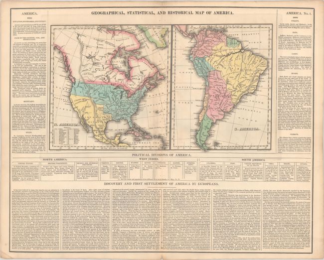
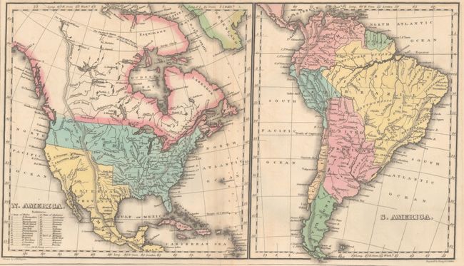
Two maps on a large sheet surrounded by text. The map of North America is about 8 x 9" and South America is 7 x 9". The United States extends to include the unnamed Oregon Territory. The large Arkansas Territory extends to Mexico on the Red River. Mexico, "Internal Provinces", encompasses Texas, the Southwest, and California. Alaska is not shown, but the map names Pr. Williams Sound. The surrounding text gives much information on the climate, history, and discovery of the Americas. On a full sheet of English text measuring 21.9 x 17.5".

References: Phillips (Atlases) #1177.

Condition: B

Contemporary color on a clean sheet with numerous binding holes along the centerfold.

Estimate: $140 - $170

Sold for: $100

Closed on 6/17/2026

Archived