Catalog Archive
Auction 209, Lot 650
"Part of Australia Comprising the Settled Portions of New South Wales and South Australia", Black, Adam & Charles
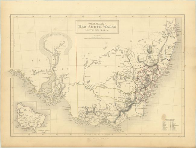
Subject: New South Wales, Australia
Period: 1844 (dated)
Publication: General Atlas
Color: Hand Color
Size:
15.8 x 10.6 inches
40.1 x 26.9 cm
Download High Resolution Image
(or just click on image to launch the Zoom viewer)
(or just click on image to launch the Zoom viewer)