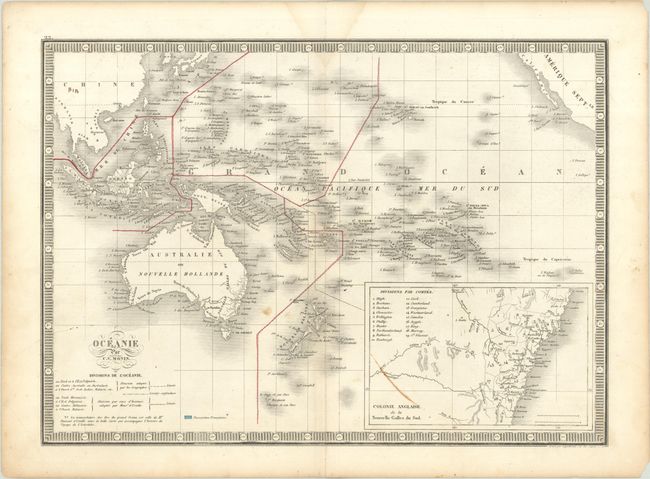
Subject: South Pacific Ocean
Period: 1834 (circa)
Publication:
Color: Hand Color
Size:
15.6 x 11.3 inches
39.6 x 28.7 cm
A handsome map of the South Pacific divided into island groups. It extends to include China, the East Indies, Australia, New Zealand, Hawaii and other Polynesian islands, and, at top right, a portion of North American including Baja California. There is little to no inland detail, but place names line the coasts. An inset at bottom shows New South Wales divided into 19 counties. Surrounded by a keyboard-style border.
References:
Condition: B+
There is a faint dampstain that just enters the map at top and a few small stains.