Catalog Archive
Auction 209, Lot 639
"De Kusten van Guinea, door een Brandenburgs Edelman, met twee Vorstelyke Fregatten Besogt, in't Iaar 1682", Aa, Pieter van der
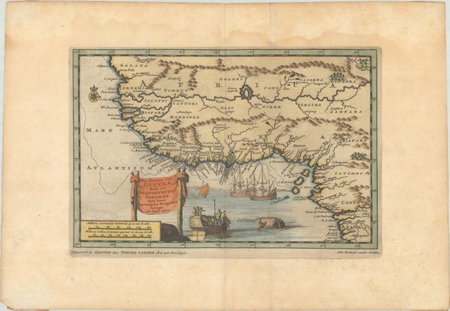
Subject: Western Africa
Period: 1706 (circa)
Publication:
Color: Hand Color
Size:
9.3 x 6.1 inches
23.6 x 15.5 cm
Download High Resolution Image
(or just click on image to launch the Zoom viewer)
(or just click on image to launch the Zoom viewer)