Catalog Archive
Auction 209, Lot 627
"Particular Draughts of Some of the Chief African Islands in the Mediterranean, as Also in the Atlantic and Ethiopic Oceans", Bowen, Emanuel
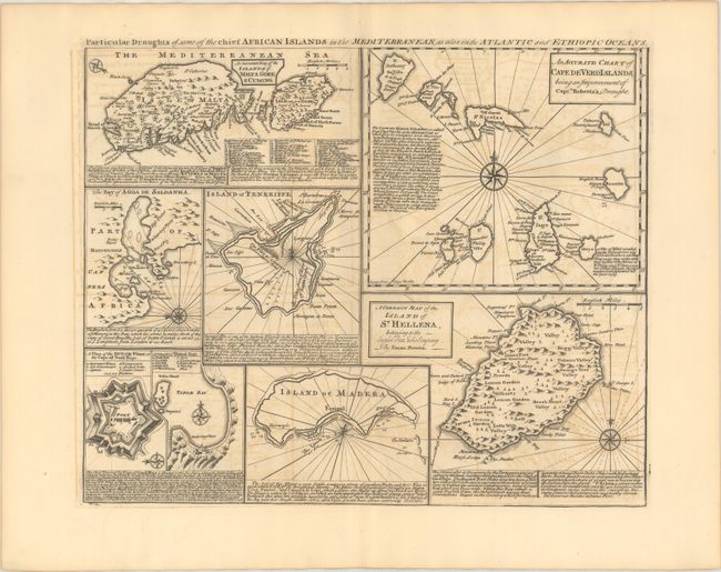
Subject: Islands around Africa
Period: 1747 (published)
Publication: A Complete System of Geography...
Color: Black & White
Size:
16.9 x 13.7 inches
42.9 x 34.8 cm
Download High Resolution Image
(or just click on image to launch the Zoom viewer)
(or just click on image to launch the Zoom viewer)