Subject: Africa
Period: 1676 (circa)
Publication: A Prospect of the Most Famous Parts of the World
Color: Hand Color
Size:
20.2 x 15.5 inches
51.3 x 39.4 cm
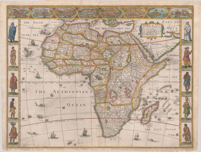
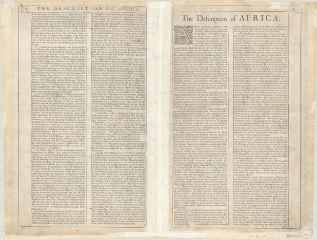
This decorative map is the first map of Africa prepared by an English cartographer. It is based closely on the maps of Jodocus Hondius and Willem Blaeu. It presents a typical, early seventeenth-century view of the continent with the interior filled with fictitious mountains, rivers, and lakes. The origin of the Nile conforms to the Ptolemaic tradition of the large twin lakes in the southern part of the continent. The kingdom of Monomotapa occupies a large region in southern Africa. There are numerous interesting notations, including several concerning where gold can be found. The English text on verso provides a fascinating view of the European concept concerning the wildlife, customs, and manners of the African people. There is a description of Anthropophagi, cannibals who kill their own babies to avoid the trouble of raising them; but, in order to preserve their race, they steal children from their neighbors. The beautiful carte-a-figures border features natives in their tribal costumes. At top is a panel of panoramas and plans illustrating Tangier, Ceuta, Algiers, Tunis, Alexandria, Alcair (Cairo), Mozambique, and the Canaries. Finely engraved by Abraham Goos, with his signature at lower left. Published and sold by Bassett and Chiswell.
References: Betz #62.3; Norwich #30; Shirley (BL Atlases) T.SPE-2f.
Condition: B+
A nice impression on a sheet with a fleur-de-lis watermark and light soiling and a few tiny abrasions. The centerfold has been reinforced on verso with archival materials, repairing some short separations. There are archival repairs at bottom to small chips in the blank margin and to a tear that enters 2" into map image.