Catalog Archive
Auction 209, Lot 562
"Nouvelle Carte pour Servir a l'Histoire de l'Empire d'Orient Depuis les Premiers Empereurs Romains Jusques Apres les Successeurs de l'Empereur Theodose...", Chatelain, Henry Abraham
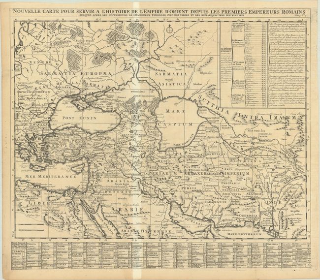
Subject: Middle East
Period: 1720 (published)
Publication: Atlas Historique, Tome VII
Color: Black & White
Size:
22.8 x 19.8 inches
57.9 x 50.3 cm
Download High Resolution Image
(or just click on image to launch the Zoom viewer)
(or just click on image to launch the Zoom viewer)