Catalog Archive
Auction 209, Lot 487
NO RESERVE
"Pars Sueviae Australior", Lotter, Tobias Conrad
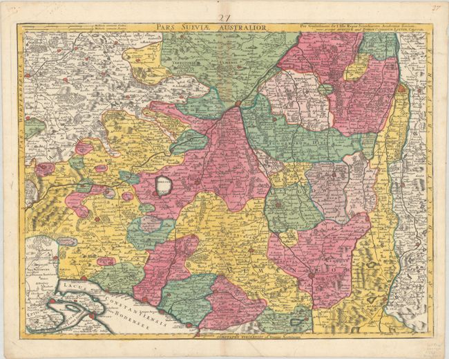
Subject: Southern Germany
Period: 1760 (circa)
Publication:
Color: Hand Color
Size:
24.9 x 18.9 inches
63.2 x 48 cm
Download High Resolution Image
(or just click on image to launch the Zoom viewer)
(or just click on image to launch the Zoom viewer)