Catalog Archive
Auction 209, Lot 404
NO RESERVE
"Livoniae Nova Descriptio, Joanne Portantio Auctore", Ortelius, Abraham
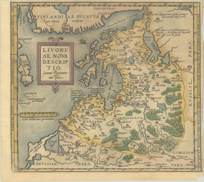
Subject: Baltic, Latvia & Estonia
Period: 1584 (circa)
Publication: Theatrum Orbis Terrarum
Color: Hand Color
Size:
9.7 x 8.7 inches
24.6 x 22.1 cm
Download High Resolution Image
(or just click on image to launch the Zoom viewer)
(or just click on image to launch the Zoom viewer)