Catalog Archive
Auction 209, Lot 403
"Le Royaume de Norwege Divise en ses Cinq Principaux Gouvernements Dresse sur les Derniers Memoires des Plusieurs Auteurs", Chiquet, Jacques
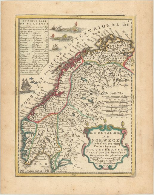
Subject: Norway & Sweden
Period: 1719 (dated)
Publication: Le Nouveau et Curieux Atlas Geographique et Historique
Color: Hand Color
Size:
6.5 x 8.6 inches
16.5 x 21.8 cm
Download High Resolution Image
(or just click on image to launch the Zoom viewer)
(or just click on image to launch the Zoom viewer)