Catalog Archive
Auction 209, Lot 402
"Estats de la Couronne de Suede dans la Scandinavie, ou sont Suede, Gotlande, Lapponie, Suedoise, Finlande, Ingrie et Livonie...", Chiquet, Jacques
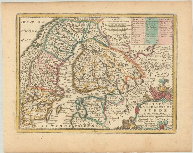
Subject: Scandinavia
Period: 1719 (dated)
Publication: Le Nouveau et Curieux Atlas Geographique et Historique
Color: Hand Color
Size:
8.8 x 6.6 inches
22.4 x 16.8 cm
Download High Resolution Image
(or just click on image to launch the Zoom viewer)
(or just click on image to launch the Zoom viewer)