Catalog Archive
Auction 209, Lot 400
"Paskaart van een Gedeelte der Noort Zee Beginnende vande Maas tot Dronte en van Herwits, tot C. Wrath...", Keulen, Johannes van
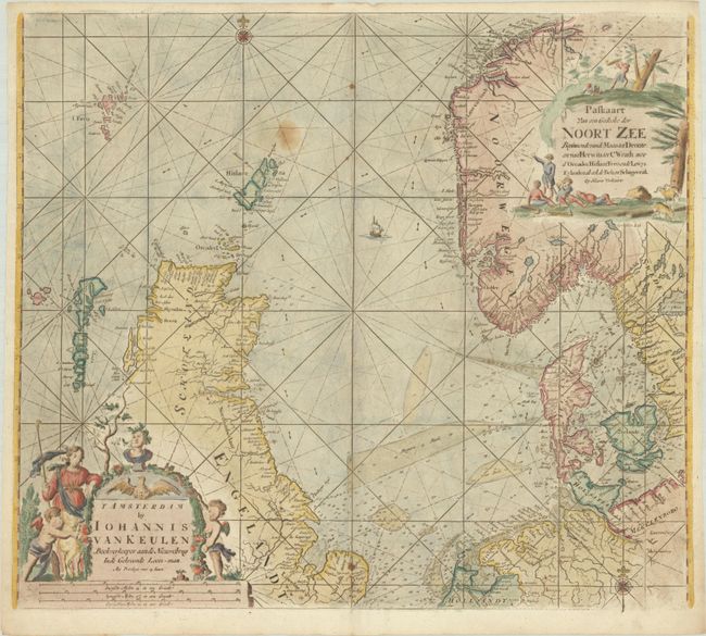
Subject: Northern Europe, North Sea
Period: 1779 (circa)
Publication:
Color: Hand Color
Size:
23 x 20.1 inches
58.4 x 51.1 cm
Download High Resolution Image
(or just click on image to launch the Zoom viewer)
(or just click on image to launch the Zoom viewer)