
Catalog Archive
Auction 209, Lot 397

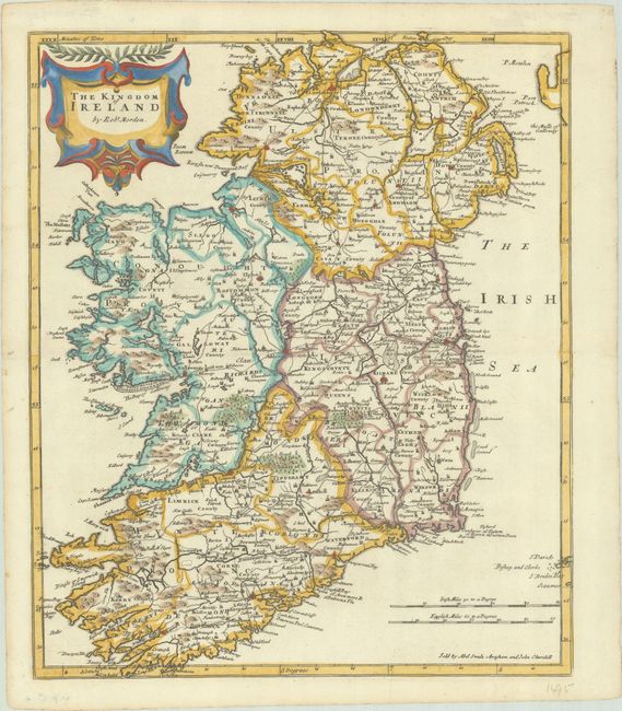
"The Kingdom of Ireland", Morden, Robert
Subject: Ireland

Period: 1695 (circa)

Publication: Camden's Britannia

Color: Hand Color

Size:
13.6 x 16.3 inches
34.5 x 41.4 cm
Download High Resolution Image
(or just click on image to launch the Zoom viewer)

This detailed map of Ireland is divided into the four provinces of Ulster, Connaught, Leinster, and Munster. Many locations and geographical features are identified on this map, most notably roads. The map includes a decorative cartouche and two distance scales. An inscription at the bottom indicates that the map was sold by Abel Swale, Awnsham and John Churchill.

References: Shirley (BL Atlases) T.CAMD-5a.

Condition: A

A crisp impression on a bright sheet with an "MC" watermark and minor marginal soiling.

Estimate: $240 - $300

Sold for: $200

Closed on 6/17/2026

Archived